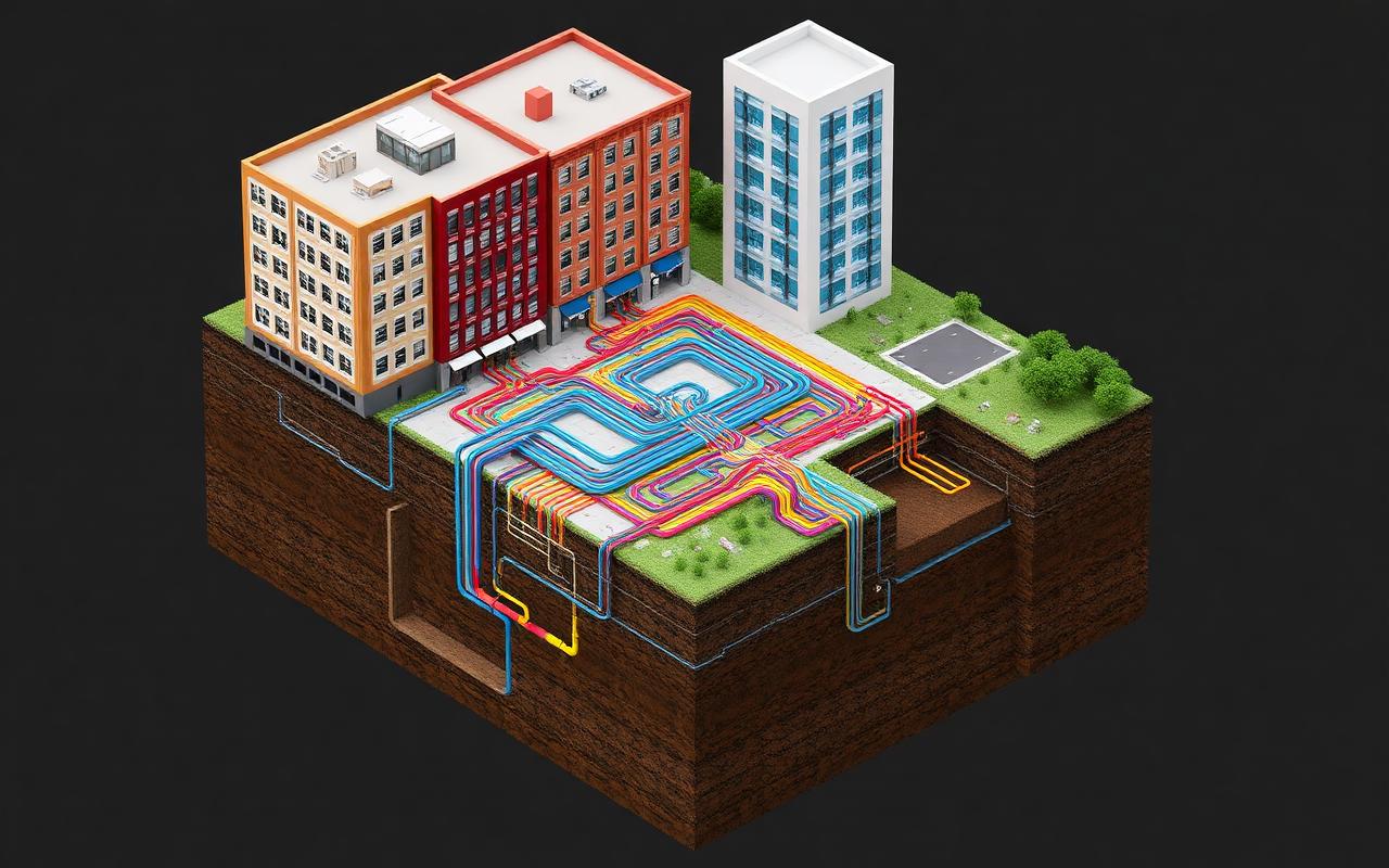
The permanent record of what's underground.
Ground Intelligence preserves verified underground knowledge so future crews dig with evidence — not guesses. Built for construction. Mobile-first. Safety-first.
Why Ground Intelligence
Evidence before assumptions
Every object is traced to its source. Verified intelligence is never overwritten.
Smart Construction Objects
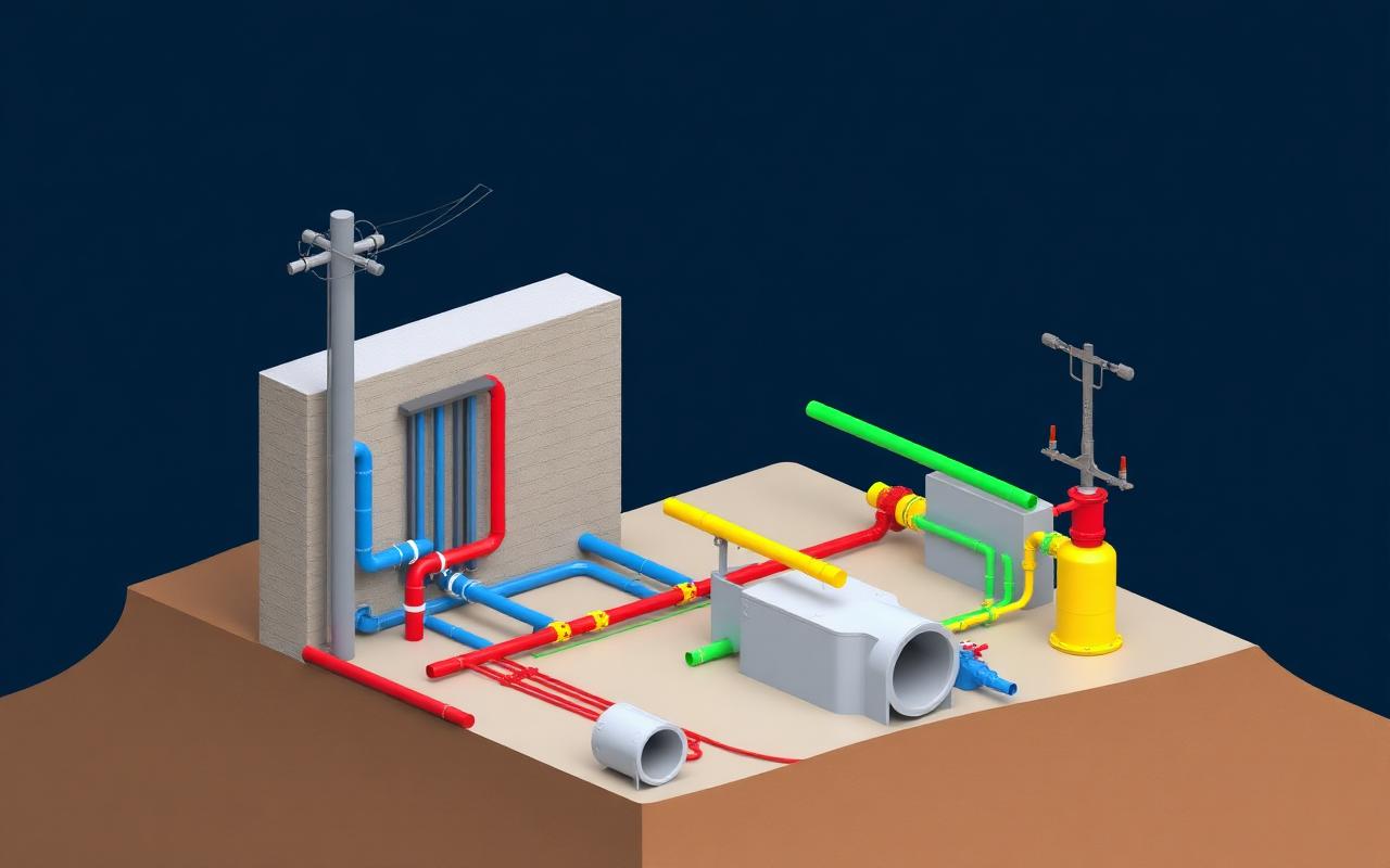
Drawings, locates, photos, and surveys become structured, reusable knowledge.
Intelligence Zones
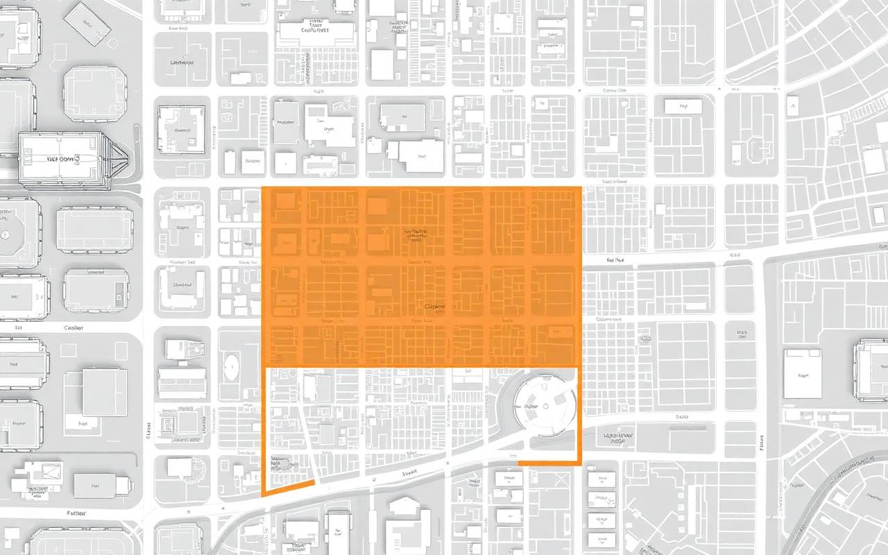
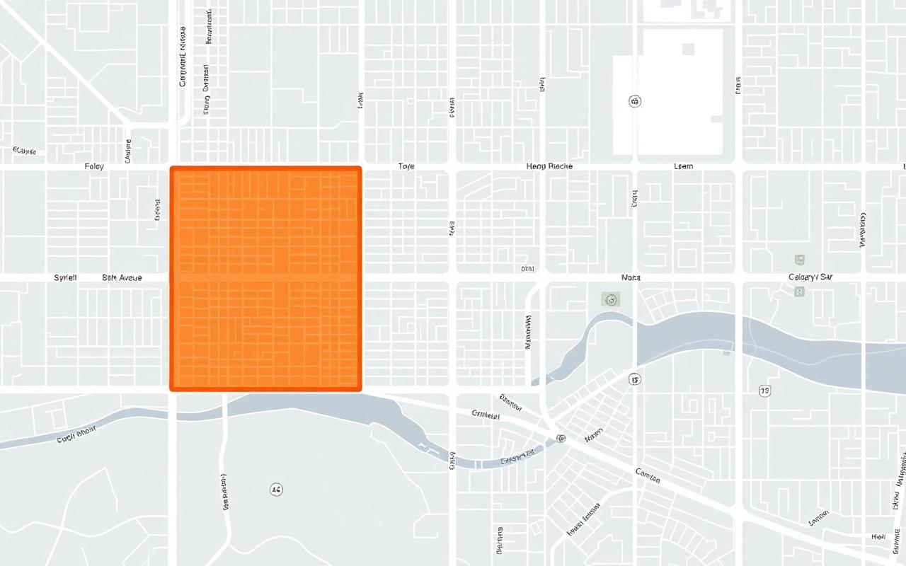
Show crews exactly where the underground knowledge is — and where it isn't.
How it works
Five steps from an empty map to a permanent 3D record of what's underground.
 1
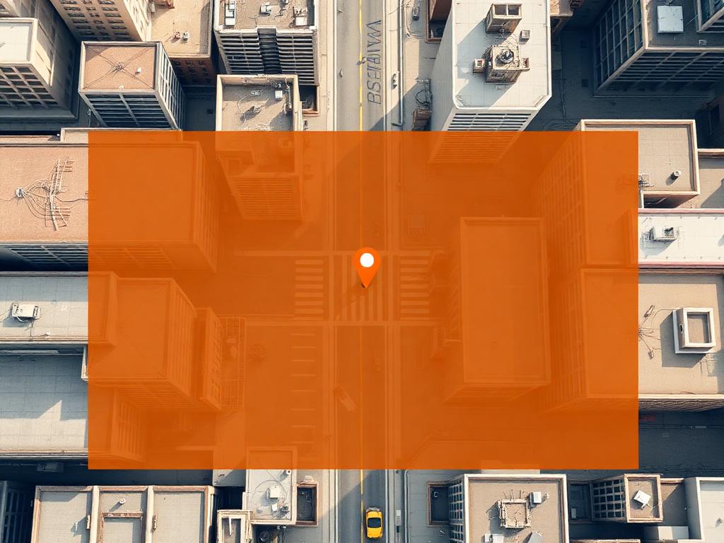
1Choose the area
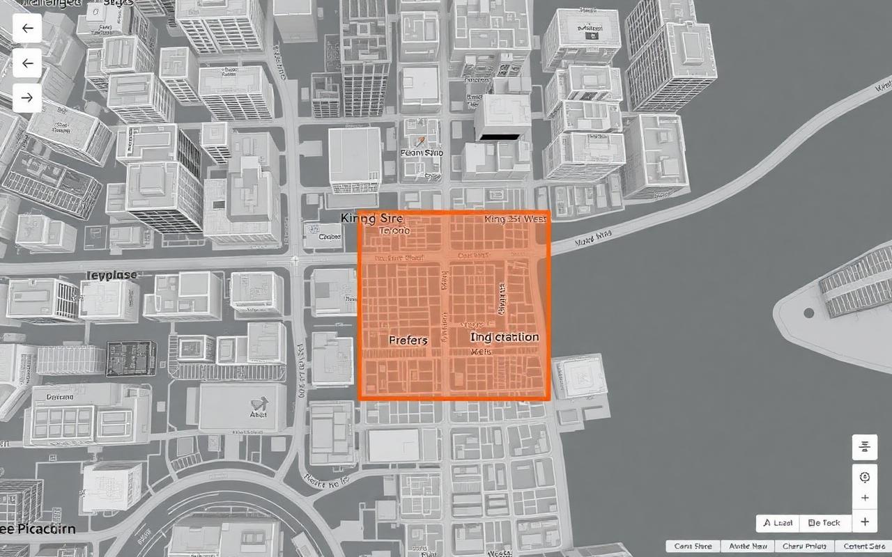
Tap the map to drop a work-area pin and dial in the radius. Your Intelligence Zone is created automatically.
 2
2Upload evidence
Drag in drawings, locate sheets, hydrovac notes and site photos. Every file is preserved as permanent evidence.
 3
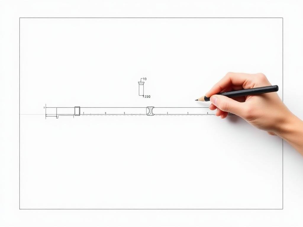
3Trace & set depth
Trace pipes, ducts and vaults straight off the plan view. Enter depth — the system extrudes the geometry for you.
 4
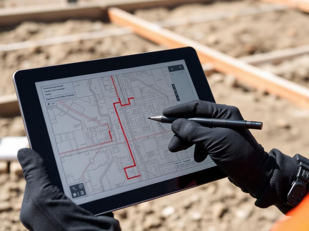
4Redline in the field
Crews mark what was actually found. Verified redlines become permanent intelligence, not lost paper notes.
 5
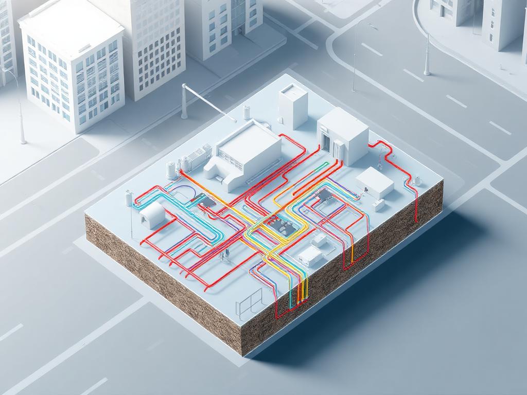
5See it in 3D
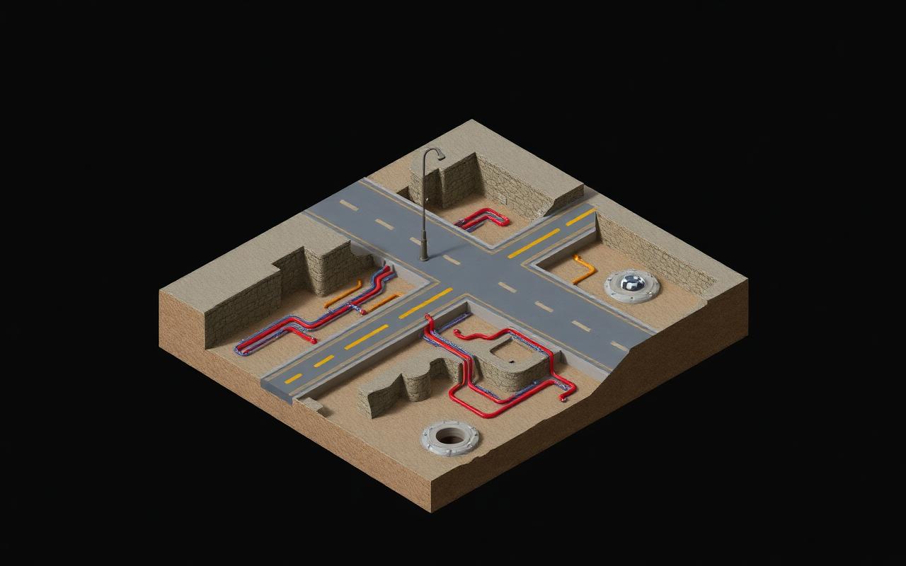
Every verified object renders in the Ground Intelligence Viewer. Share a standalone HTML model with anyone.